
Test sites
Five places in Spain where the consortium checks, from the ground, what FLEX measures from orbit. Pick one on the map.
- 5 test sites
- 5 ecosystems
- 800 km to the satellite
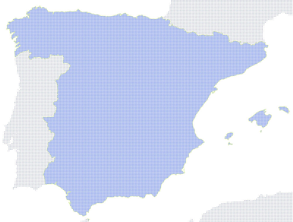
Choose a site
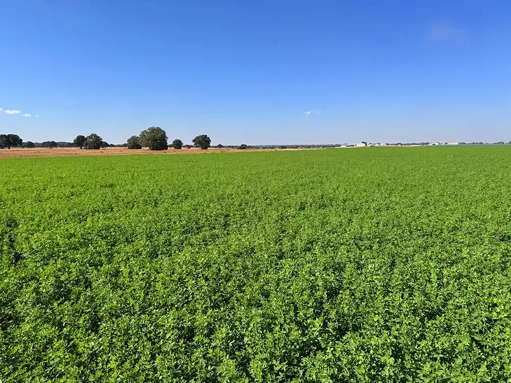
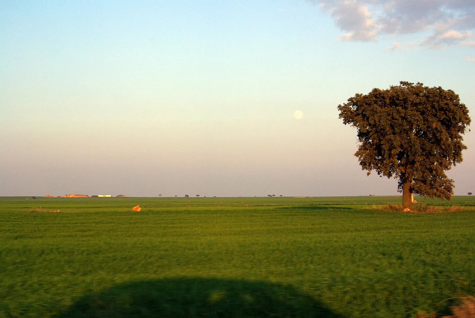 Irrigated and rainfed crops in Mediterranean woodland
Santa Marta
Albacete, Castilla-La Mancha · 39.16° N 2.31° W
- Hand-held spectroradiometer transects across the crops
- Calibration targets laid out on the ground
Explore the site
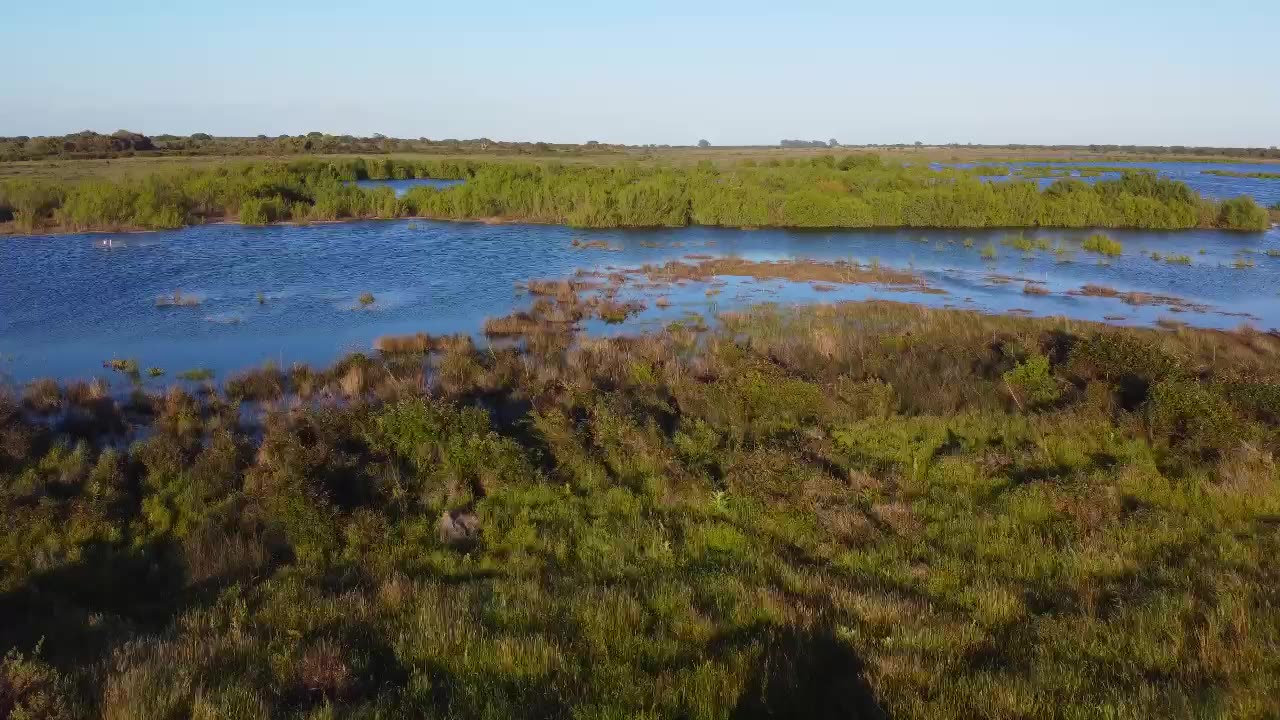
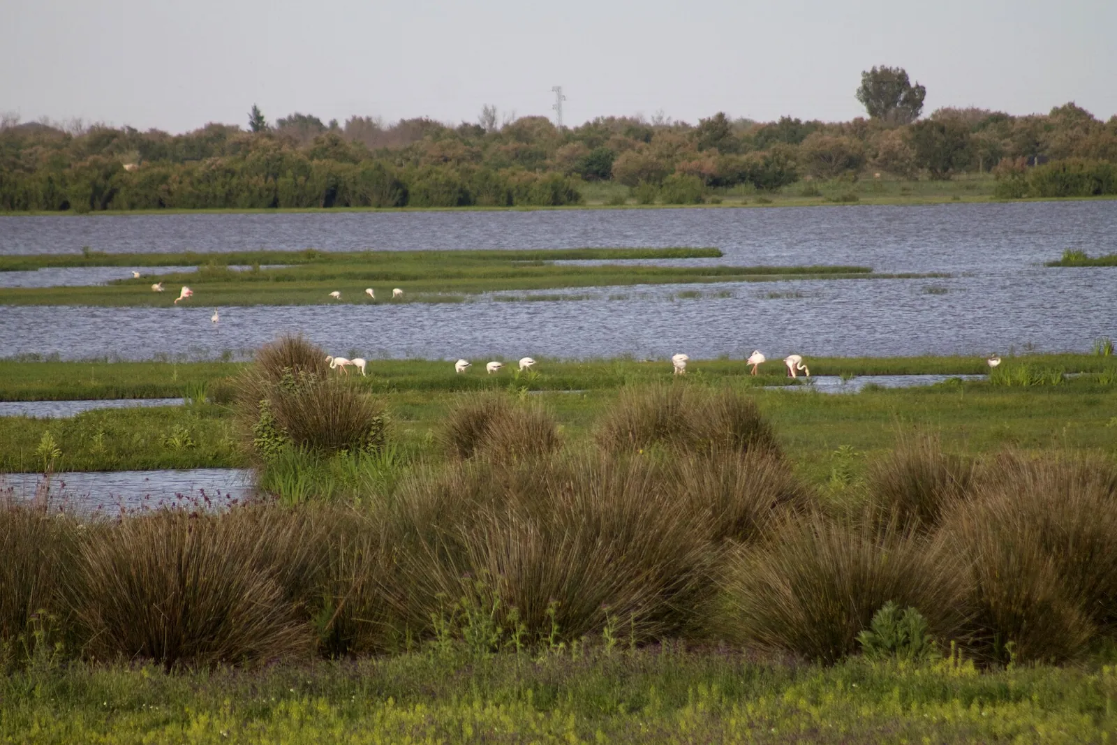 Mediterranean wetland and scrubland
Doñana
Huelva and Seville, Andalucía · 36.99° N 6.44° W
- Eddy covariance towers measuring carbon and water exchange
- Optical and fluorescence sensors running continuously
Explore the site
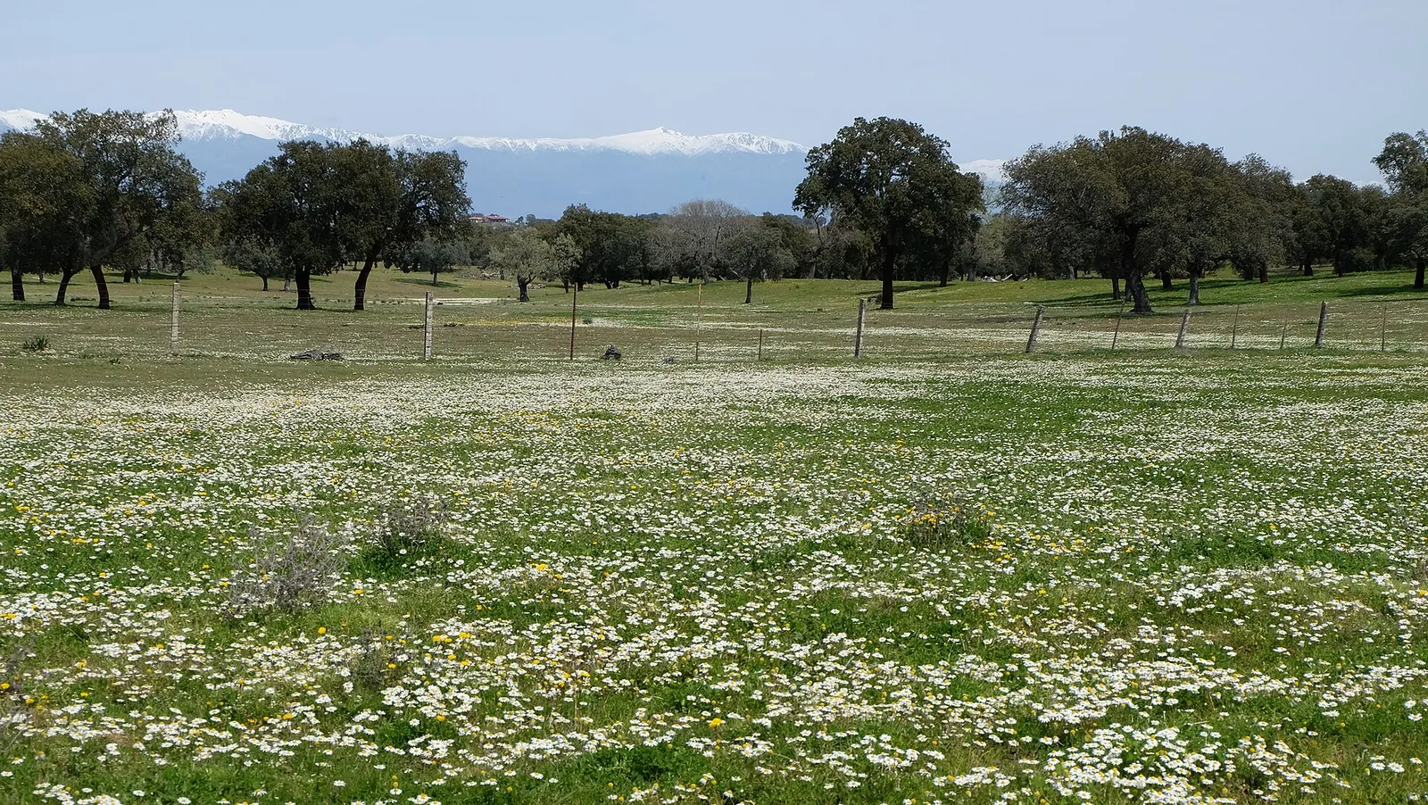 Dehesa
Majadas de Tiétar
Cáceres, Extremadura · 39.94° N 5.77° W
- Eddy covariance flux tower over the dehesa
- Joint Cal/Val activities with CEAM and SpecLab-CSIC
Explore the site
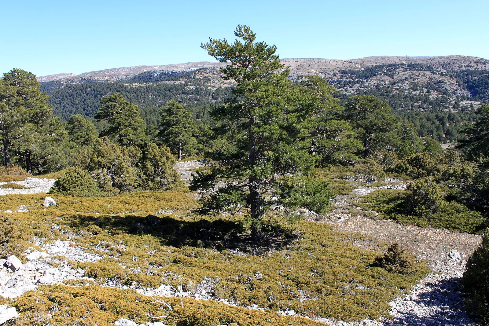 Mountain forest
Manzanera
Teruel, Aragón · 40.04° N 0.96° W
- Forest canopy campaigns with CITA Aragón
- Cal/Val measurements in a mountain ecosystem
Explore the site
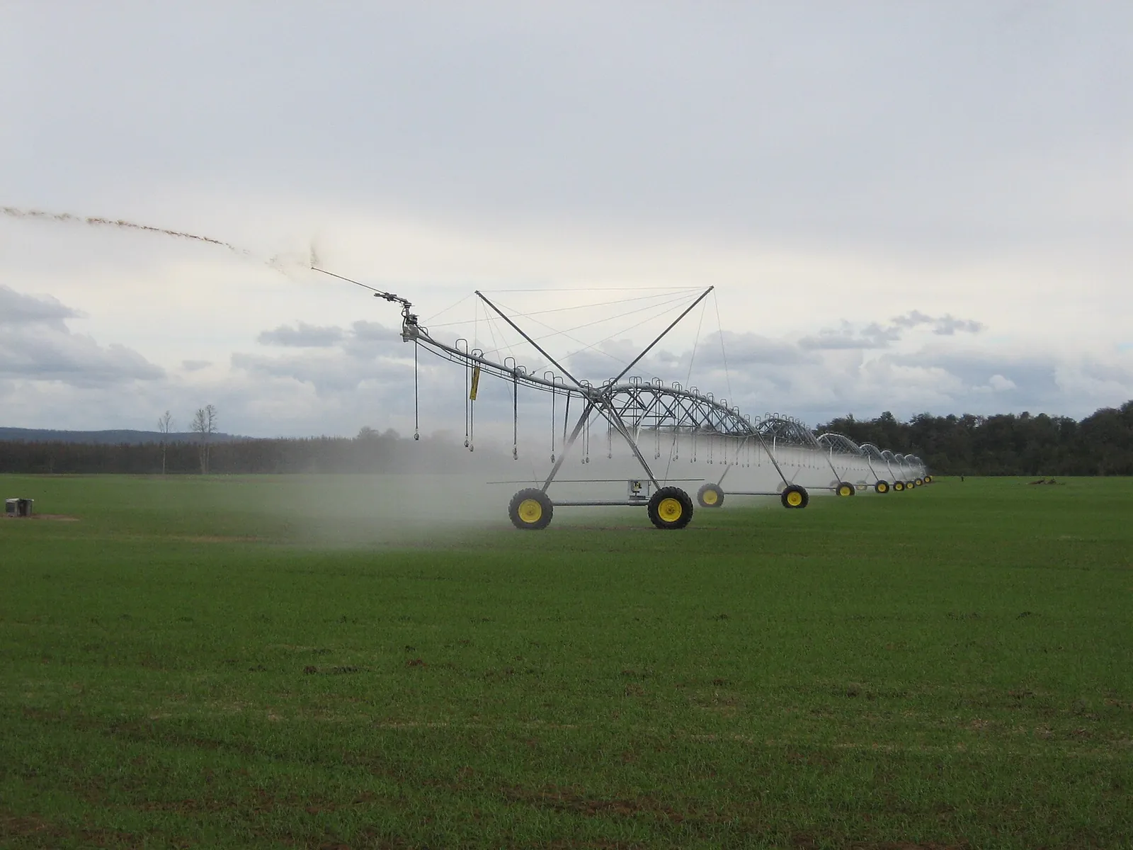 Irrigated agriculture
Barrax
Albacete, Castilla-La Mancha · 39.06° N 2.10° W
- Shared field protocols for fluorescence measurements
- Instrument intercomparisons between teams
Explore the site
Santa Marta: Photo: Gons, CC BY-SA 4.0 · Doñana: Photo: Dvazquezq, CC BY-SA 3.0 · Majadas de Tiétar: Photo: Birding In Spain, CC BY-SA 4.0 · Manzanera: Photo: Falconaumanni, CC BY-SA 3.0 · Barrax: Photo: Ingeniero hidr., CC BY-SA 3.0
Groundtruth
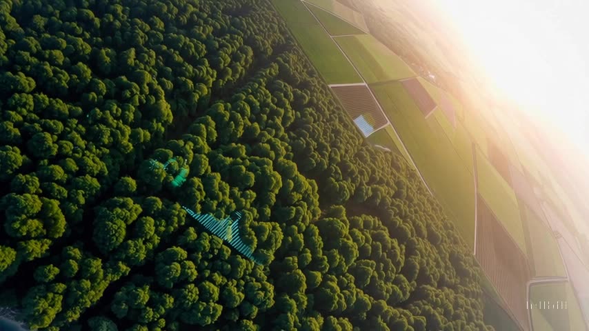
What the satellite sees from 800 km, checked from the ground.